
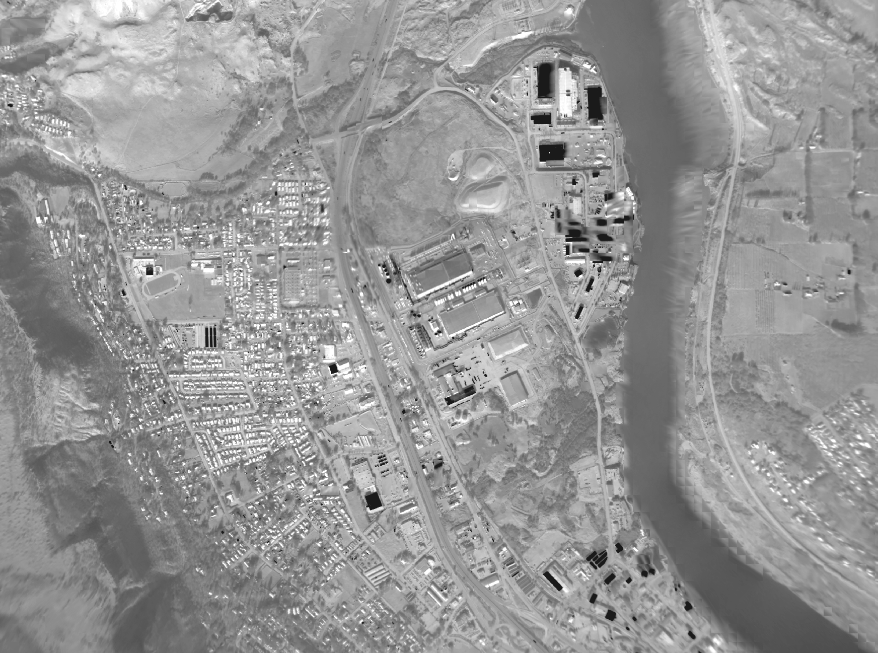
// Downward / Angled · Dual RGB
Smart Color Camera (SCC)
Two perspectives. Clearer context.
Dual-color aviation imaging brings a wide downward view and an angled perspective to live video, geotagged snapshots and RGB mapping.
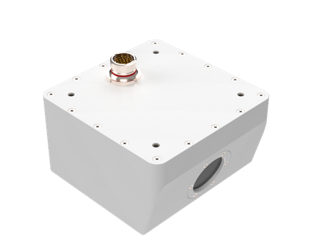
// SCC · S007-2064
Color imaging. Built for the aircraft.
A downward RGB sensor pairs with a 15° forward- or rearward-facing sensor in a compact 500 g aluminum housing. Ethernet connectivity, onboard multi-day storage and geotagged stills connect aerial collection to color imagery on the ground.
$8,800/Custom variants available
// Capabilities
Context in the air. And beyond.
Two color perspectives
Wide-angle downward RGB imaging captures the landscape below, while a 15° angled sensor provides a forward- or rearward-facing view.
Geotagged video and snapshots
H.264 video with MISB KLV metadata and full-resolution geotagged stills connect aerial imagery to GIS applications.
Cloud-connected RGB mapping
Onboard multi-day storage and provider-agnostic cloud processing support orthorectified color mosaics and shared streaming video.
// Specifications / S007-2064
Compact hardware. Dual perspectives.
- Downward sensor
- RGB · 720p video / 3.2 MP stills
- Angled sensor
- RGB · HD video / 2.1 MP stills
- Downward field of view
- 146° H × 110° V · approximately 180° fisheye
- Angled field of view
- 81° H × 51° V · 15° angle
- RGB GSD at 2,500 ft
- 0.95 m downward / 0.67 m angled
- Dimensions (L × W × H)
- 3.5 × 3.4 × 2 in
- Weight
- 500 g / 1.1 lb
- Power
- <10 W · 28 V DC or PoE 802.3af
- Connection
- 1 Gbps Ethernet
- GPS input
- Digital only
- Housing
- AL 6061-T6
- Mounting
- Threaded hardpoints · flush to fuselage
- Storage
- Onboard multi-day storage
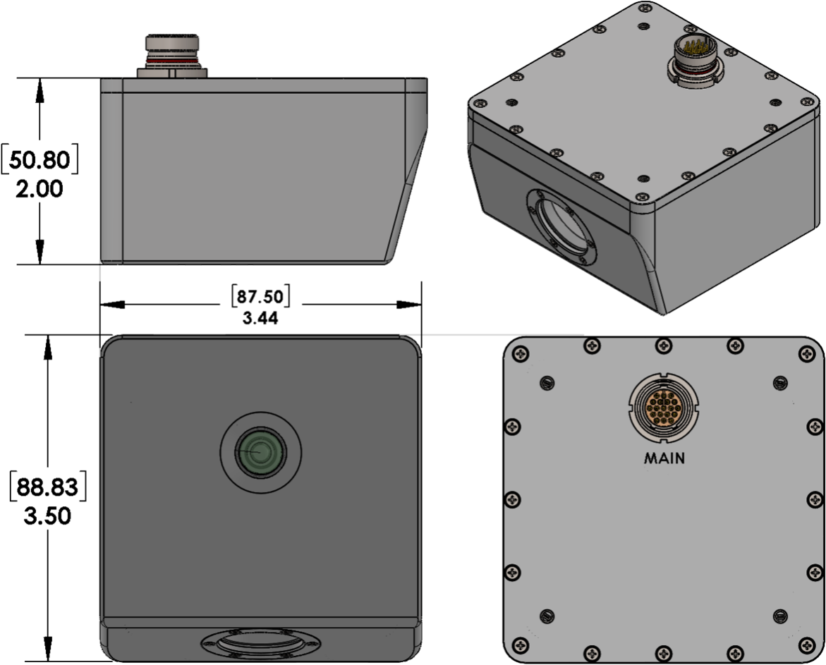
Preliminary specifications — subject to change.
// Purchase & seasonal leases
Choose your configuration.
| Configuration | Size (L × W × H) | Weight | Purchase | 3-month lease | 6-month lease |
|---|---|---|---|---|---|
| S007-2064 · HD (720p) / Dual RGB | 3.5 × 3.4 × 2 in | 500 g / 1.1 lb | $8,800 | Request quote | Request quote |
Contact us for custom variants and to discuss seasonal lease options. Lease pricing and terms are not listed in the SCC datasheet. Specifications and pricing are subject to change.
Discuss your configuration// Hardware outputs
Ready to connect.
- H.264 MISB KLV digital video
MISB ST 0601 metadata over IEEE 802.3ab Ethernet · approximately 1 Mbps video stream
- Full-resolution geotagged snapshots
3.2 MP downward and 2.1 MP angled RGB stills for GIS applications
- Dual RGB views
Downward and angled color imagery — no thermal sensor in this model
// Software / Cloud outputs
Ready to share.
- Orthorectified RGB image mosaics
- Full- and low-resolution geo-snapshots
- H.264 streaming video
- Compatibility with leading GIS and fire common operating picture software
- Cloud-hosting provider independence
No ongoing software license is required for direct viewing. Cloud processing and sharing depend on connectivity and the selected platform. Cloud providers and GIS software may incur usage charges.
// Product documentation
Smart Color Camera (SCC) datasheet
Original SCC specifications, configuration and outputs · PDF